Background image credit: EUMETSAT
Understanding the oceans
GHRSST recognises our shared responsibility to protect and understand the oceans. We do this by contributing with our focus, formatted products, tools and services on sea surface temperature (SST). SST data is critical for monitoring our changing climate, forecasting weather, supporting marine ecosystems and fisheries, and protecting ocean ecosystems.
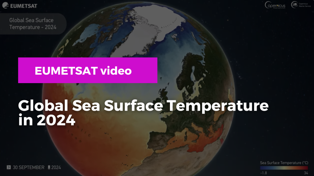
In EUMETSAT’s video below, it is possible to see how Global SST has shifted throughout 2024, from marine heatwaves to the dynamics of the Gulf Stream. The video shows SST data using a combination of satellite observations and ocean surface temperatures:
Video credit: EUMETSAT
On the above visualisation, the warmer sea surface temperatures are visible in the tropics plotted in red, gradually shifting to cooler temperatures, in blue, at the poles. Sea ice is indicated by the white regions at both poles.
EUMETSAT operates the Copernicus Sentinel-3 satellite which monitors sea surface temperature. Furtehrmore, EUMETSAT provides SST data to the Copernicus Programme from its weather satellites, such as Metop.
Resources
Read through the following links to:
- Learn more about marine heatwaves, and how members of the GHRSST Science Team are helping to better understand them
- Find out how EUMESTAT monitors the oceans from space
- Access marine data from EUMETSAT
- Access Copernicus marine data through the Copernicus Marine Service